Sydney, Australia, November 19 — Surfing NSW is excited to announce a partnership with Surfline. The collaboration will provide club member benefits, and real-time surf data and long-term forecasting tools for event organisers.
Lucas Townsend, CEO at Surfing NSW, said:
“As surfers, we live by the forecast. Partnering with Surfline means our boardriding club members get discounted access to the best surf intel in the country, and our events team can lean on world-class forecasting to put heats in the safest conditions and the best possible waves.
For Surfing NSW, it also opens up a much bigger digital connection with surfers right across the state, and we’ll keep building skills and confidence in using these tools so any surfer, of any ability, can genuinely improve their experience in the water.”
As part of the partnership, Surfline will provide expert surf reports and forecasting support for Surfing NSW events while offering members an exclusive 30% discount when upgrading to Surfline annual Premium or Premium+ memberships.
Unlocking unlimited access to:
- Local and global surf forecasts to help plan your next session or surf trip
- Thousands of live cams to check conditions around the world
- Session-tracking features to log progress and relive your surfs
- Detailed condition data and additional insights to improve performance
Already a Surfline Premium member? The discount also applies to Premium+, unlocking more features for committed surfers and the ability to share your membership with up to two friends or family members.
Ross Garrett, Surfline CEO, said:
“When I met with the New South Wales team in Sydney, it was clear we share the same purpose — to support surfers and strengthen surf communities. This partnership brings that shared vision to life, helping more surfers in NSW connect with the ocean through better tools, local knowledge and community-led events.”
30% off your first year of Surfline Premium or Premium+ is part of a range of new industry perks launching the Surfing NSW Member Marketplace, designed to support our 2025 affiliated community and gear them up for the 2026 season.
Get to Know Your Local NSW Forecaster: Hugh McDowell
Why forecasting? What did you study, and how have you built credibility as a forecaster?
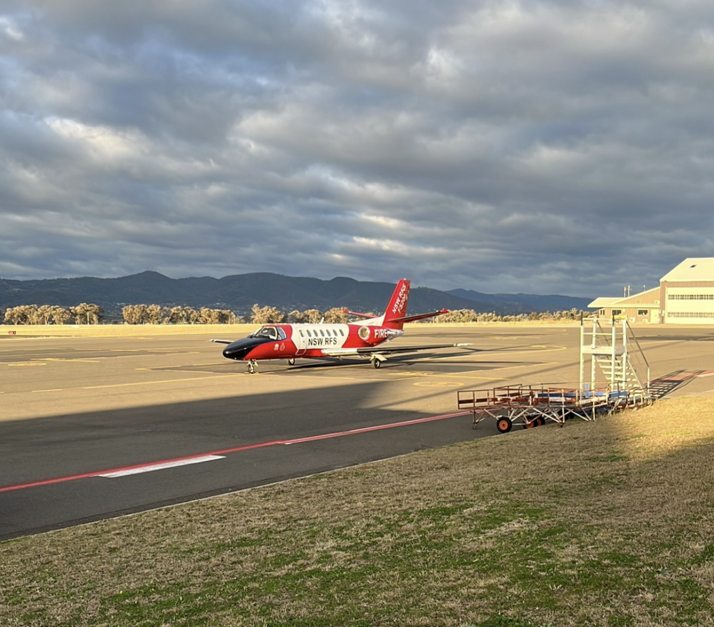
I studied environmental science—mostly ocean and atmospheric science. Then I worked at the UK Met Office in multiple different forecaster roles for over 10 years before moving to Australia five years ago with the Bureau of Meteorology. This was all motivated by a desire to do something useful for the public, and the bonus was it was a pretty good place to be as a surfer. Shift work plus access to state-of-the-art weather models has meant plenty of waves! Also, I got to do some cool stuff like working with and flying in search-and-rescue helicopters, working offshore on construction projects, overseas military bases, RFS, and SES projects to name a few.
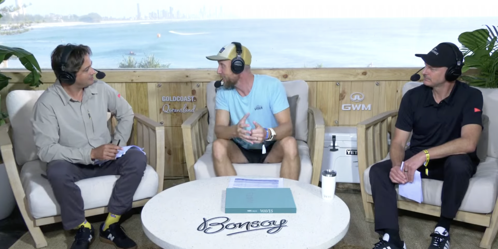
Since then, I joined Surfline about three years ago, and after starting out writing forecasts for WA and Victoria, I moved to writing the east coast forecasts about two years ago. This has also included writing loads of forecast content articles, like the seasonal outlooks, and my personal highlights of doing in-person event forecasts for the WSL Bells Beach Pro in 2024 and Gold Coast Pro in 2025.
How do you approach long range forecasting and what variables do you consider?
Most people have heard of chaos theory. You know—the butterfly flaps its wings over the other side of the planet and everything changes. There are sound fundamentals to it. Small changes over time can make big differences. It’s important when you’re using weather models to forecast wind, to then forecast swell. If you get a small thing wrong when you do the initial forecast, that can—over the space of days—make a big difference to the result. It’s why we see things jump around in the long-term forecasts. Weather models always get something wrong.
There are a couple ways to get around this.
Look at multiple different models. They say similar things then you can be reasonably confident that the forecast is about right. At some point though they often look different. Then it’s about knowing what looks right. Is it reasonable for this area at this time of year? Is this a normal looking swell, or something that hardly ever happens? If it looks a bit weird, it’s probably not going to happen.
The other option is to look at ensembles. Multiple versions of the same model but with slightly different starting conditions. That butterfly effect again. Again, the more they vary, the less confidence you have in the forecast.
So basically, I just look at everything and then use my judgement to write the forecast based on what I’m seeing and what I’ve seen before. Plus, factoring in what I know about how swells are generated and how they interact with the coast here.
Shorter term things are more set. But on east coasts in particular, things can still change that are supposed to happen today or tomorrow. The reason being a lot of the surf / swell is generated close to the coast. You might not know exactly what is going to happen until the swell turns up on the wave rider buoy just off the coast. This rings particularly true with an east coast low, cold front / south swell building along the coast or just a peaky NE wind swell. Even when things are set you need to know that the numbers on the forecast are only a model. We’ve tuned it as well as we can, but certain swells almost always over-perform, and some underperform. Wind forecasts can be tricky as well. Morning offshores can be hard to capture, and it’s at this point that having an understanding of the inland air temps and how cold air can move off the coast that helps nail things down further.
In short—the closer you are in time, the more precise the forecast can be. If it’s further away, it’s more of a guide than a promise.
Building on that, how do you take the guesswork out of forecasting and ensure your reports are as accurate as possible?
Ha! Forecasting is professional guessing! Basically, I use all the available information possible to make the best most educated guess. I reckon we have a much higher hit rate than footy tipping though!
In all seriousness, there are a couple things that you can do. It works better in some areas than others. If a swell develops off the coast, then you can track it with satellite and wave riders. You can compare wind speeds from models to observations and satellite, and you get a good idea if something is on track. Take Indo, for example. Some of those swells take six or seven days to arrive. You can pretty much nail the size and timing on that. Even more so for a place like California—it could be 10–14 days or more for a swell from the South Pacific to show up. But for NSW (and other east coast locations) we often don’t get more than a few days’ notice at best. Even if you get all the notice on the swell, you still need to nail the local winds.
About Surfline
Surfline is the go-to app for all levels of surfers around the world. Since 1985, Surfline has helped millions of surfers know before they go. Designed by surfers, for surfers, offering cutting-edge proprietary forecast models, an expert team of in-house meteorologists, and a global network of live cams, Surfline connects surfers to their passion.